Recently two new clubs have been added to the school: fishing club and the GIS club.
Both clubs are run by teachers; the fishing club is ran by technology teacher Mr. Jacob Birchfield, and the GIS club’s advisor is computer science teacher Mr. Greg Murrell.
Birchfield states that the club does and learns “instructional casting, how to make a lure, what type of species to catch and when to catch them during the year, and where around the county we can fish.”
The club fishes in the pond located behind the school and will travel around 15 minutes to other locations “because people can not really drive very far and need rides,” says Birchfield. “We will go to Deer Creek and fishing communities and clubs that [the members] want to join,” adds Birchfield.
Sophomore Ryan Chaney asked Birchfield to help him create the club. He states that he knows “a lot of people that enjoy fishing who do not have anyone to take them, and I have been fortunate that my dad and my parents do a lot of outdoor stuff and I want to get more people interested.”
Chaney continues to state that he likes “going to the meetings and teaching people what I know, [sharing] all of the knowledge that I have gained over the years, and helping people learn.”
“You do not have to have experience; anyone can join, whether you are a freshman or a senior. It is for everyone,” says Birchfield.
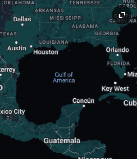
The GIS club “was started by students because they had the interest to do it, so there is a group of students that have taken [GIS] for a couple of years, and they wanted to get like minded students together. So, they went to [principal] Mr. [Brian] Pawlicki and proposed the club,” states Murrel.
Senior Timothy Morrow states that “we started the club to give everyone in the school a chance to learn about GIS and its capabilities.”
He continues to state that the “goal of the club is community service, so it has a focus that everyone that joins that club has to do a GIS project that is going to benefit the North Harford or Harford County community with a project that they are going to produce.”
Murrel says that “you can pick a purpose and GIS can find a way to help. It includes also being able to use your phone and going out to the field and collect data. So, it is really a tool to help you solve problems or analyze projects that you have.”
Morrow states that in “GIS club, every member or group of members will make a map that can be useful somewhere in Harford County.”
Murrel comments that the club meets “during Hawks Soar. We have had one meeting, [and about] 24 students [came]; it ranged anywhere from freshman to seniors, and some students have done GIS for all four years [while] others that are brand new, so there is a place for everyone.”
